01Shoulders
Pavement that ends in air
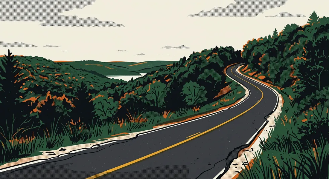
Long stretches have little or no paved shoulder, and the asphalt edge has broken away into the grass. Drop a tire off the edge at highway speed and there is no recovery room — only a ditch or a tree line.
Route W carries school buses, log trucks, ambulances and summer lake traffic on a two-lane road with crumbling edges, blind curves and almost nowhere to pull off. We are asking MoDOT to study this corridor and fund the fixes.
Be the first name on the corridor's petition.
Nobody who drives Highway W regularly needs this explained. It is written down here because the people who decide whether it gets fixed do not drive it.
Long stretches have little or no paved shoulder, and the asphalt edge has broken away into the grass. Drop a tire off the edge at highway speed and there is no recovery room — only a ditch or a tree line.
The road follows the ridges instead of cutting through them. Crests and tight bends hide oncoming traffic, stopped mail carriers and vehicles waiting to turn until a driver is already on top of them.
Boat trailers, RVs, delivery trucks and visitors unfamiliar with the corridor pour onto Highway W every summer weekend, on a road whose geometry was never designed for that mix or that volume.
Buses stop on a road with no shoulder to pull onto and limited sight distance behind them. Children board and exit within feet of passing traffic.
Rural response distances are already long. When a wreck blocks both lanes on a corridor with no alternate route and nowhere to pass, ambulances and fire apparatus lose time that patients do not have.
Driveways, marina entrances, campgrounds and field access points open directly onto the travel lane. A vehicle slowing to turn becomes a stationary obstacle with traffic closing behind it.
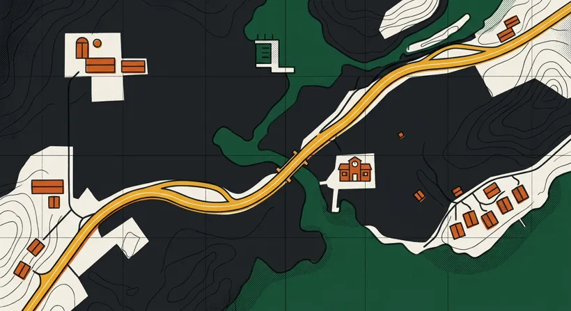
Signatures are delivered to MoDOT Central District leadership and to the state representatives and senators serving Miller and Morgan counties.
Complete a formal safety study of Route W across Miller and Morgan counties and publish the crash history, traffic counts and findings where residents can read them.
Pave usable shoulders along the corridor and repair the broken pavement edge, prioritising the curves and the sections with steep drop-offs.
Install centerline and edge-line rumble strips — among the lowest-cost, highest-return countermeasures available for exactly this kind of two-lane rural road.
Install guardrail, delineators and reflective markers where the roadway falls away steeply or narrows at a bridge.
Add advance curve warning, chevron alignment signs and realistic advisory speeds at every blind curve and hidden access point.
Provide dedicated turning space or pull-off areas at the highest-volume entrances — marinas, campgrounds, schools and subdivisions.
Re-evaluate the posted limit against the corridor’s real geometry, sight distance and seasonal traffic mix.
One signature is an opinion. A few thousand from the people who live on, work on and drive this corridor every day is a record that has to be answered.
The tally on this page updates the moment you sign, so everyone can see the corridor organising in real time.
Signatures are grouped by town, county and how often each person drives Highway W — a picture of who this road actually serves.
The petition goes to MoDOT Central District leadership and to the legislators for Miller and Morgan counties. Signers are emailed when it lands.
The first name carries the most weight
No signatures have been recorded yet. Be the person who starts the record on Highway W.
Add the first name